Reports: ND854935-ND8: Geophysical Characterization of Biogenic Structures in Siliciclastic and Carbonate Media
 printer friendly
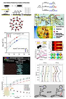
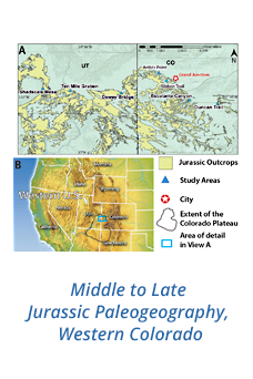
Two- and three- dimensional GPR surveys were conducted at three primary field sites, which include the type sections of Holocene coastal formations of the Bahamian archipelago, containing the carbonate holotype of upper beach Psilonichnus ichnospecies. More than 1.5 km of georadar surveys were designed to capture a large sample of both open and partially collapsed burrows. Survey orientation was optimized to record both transverse and longitudinal burrow sections, aiding both visualization and quantification of shaft and tunnel parameters.
In addition to the GPR imaging, an Explorer PremiumTM wireless inspection camera (endoscope) was utilized to measure burrow length and shape (gross morphology) and capture video images of the burrow interiors. This is a novel application of this technique to complement geophysical imaging of bioturbation structures. Of the three burrow types, blue land crab (Cardisoma guanhumi) burrows are the most understudied. These are the largest and most prolific of the three decapods. They construct large (> 10 cm wide burrows that terminate at the water table (emerging potential paleo-sea-level indicator). The sediment they move creates a distinct microtopography. In order to better understand their burrows and sediment movement, twenty C. guanhumi burrows were measured (opening width, minimum length, spoil mound height and width), and a classification system for the burrows and their spoil mounds (defining burrow structure and related adjacent microtopography) was developed. Plaster casts were instrumental in capturing the detail of the large chamber, particularly where saline water attenuated the electromagnetic georadar signal.
Subsurface images are being post-processed in 2D using MATGPR v. 3.5, RadExplorer, and in 3D using GPR Slice software. Signal velocity of 12 cm/ns was determined in the field using hyperbola fitting. Burrow diameters for all three decapods (4-20 cm) were resolvable in the vertical and horizontal scale. Post-processing includes steps that maximize near-surface (< 60 cm) features and minimize the strong initial ground-air wave, which can impede recognition of point-source reflections (hyperbolic diffractions).
Two-dimensional (B-scan) analysis included characterizing burrow attributes (depth, diameter, inclination) in order to establish diagnostic features of the three burrow types. This was accomplished by the following techniques: identifying point reflections (hyperbolics) and longitudinal structures as burrows by the reverse polarity of the waveform, which indicates a rapid increase in EM wave velocity due to burrow void space. Burrow diameters will be calculated using the area of the highest ground-wave amplitude. Post-processed 2D images reveal patterns that allow differentiation of burrow structures from other reflectors (roots, clasts), as well as from each other in certain situations. This provides the context in which to accurately differentiate invertebrate bioturbation from background bedding and undisturbed substrate. It is more difficult to distinguish collapsed burrows, which have normal polarity and may be less reflective (lower amplitude) than roots due to the similarity in matrix/fill in unconsolidated sediment. Thus, the in situ response of the radar signal to sediment properties provides accurate lithological characterization, compared to traditional subsampling and sedimentological analysis. Mapping the contrast between matrix and burrow fill (particularly of blue crab burrow systems) has direct implication for georadar assessment of dual porosity/ permeability, a relatively new but essential aspect of potential hydrocarbon reservoirs.
The research to date has been incorporated into two journal articles currently in press (not listed in publication count) and 8 published conference abstracts presented at regional and national GSA conferences.